Horton Plains Has an Older Story
Most people come to Horton Plains for World's End. They walk the 9 km loop, catch the view before the mist rolls in, stop at Baker's Falls and are back in Nuwara Eliya by lunch.
But the plains hide an older story. Long before the ticket counter and the marked trail, pilgrims from Uva crossed this high plateau on their way to Sri Pada (Adam's Peak). That route is gone now. And one part of it carries a dark legend that almost nobody talks about.
In the 1950s, Philip Crowe, then the US Ambassador to Ceylon, wrote about the plains in his book Diversions of a Diplomat in Ceylon. He said the place has a strange atmosphere, and that when the mist comes in, the silence feels heavy. Once you know the story of Golgotha Pool, that makes a lot more sense.
The Sri Lankan documentary channel Aegle Creations brought this story back in their film Lost Trail to Sri Pada via Horton Plains. We went through the old books, maps and records behind it. Here is what holds up, and what is still a mystery.
The Legend of Golgotha Pool
Horton Plains sits more than 2,100 m above sea level. The Belihul Oya starts here, and along its upper reaches you'll find small pools that the British named. Leg of Mutton Pool gets its name from its shape. Chimney Pool, with its old stone bund, is a familiar landmark on the World's End trail.
Crowe mentioned one more pool: Golgotha.
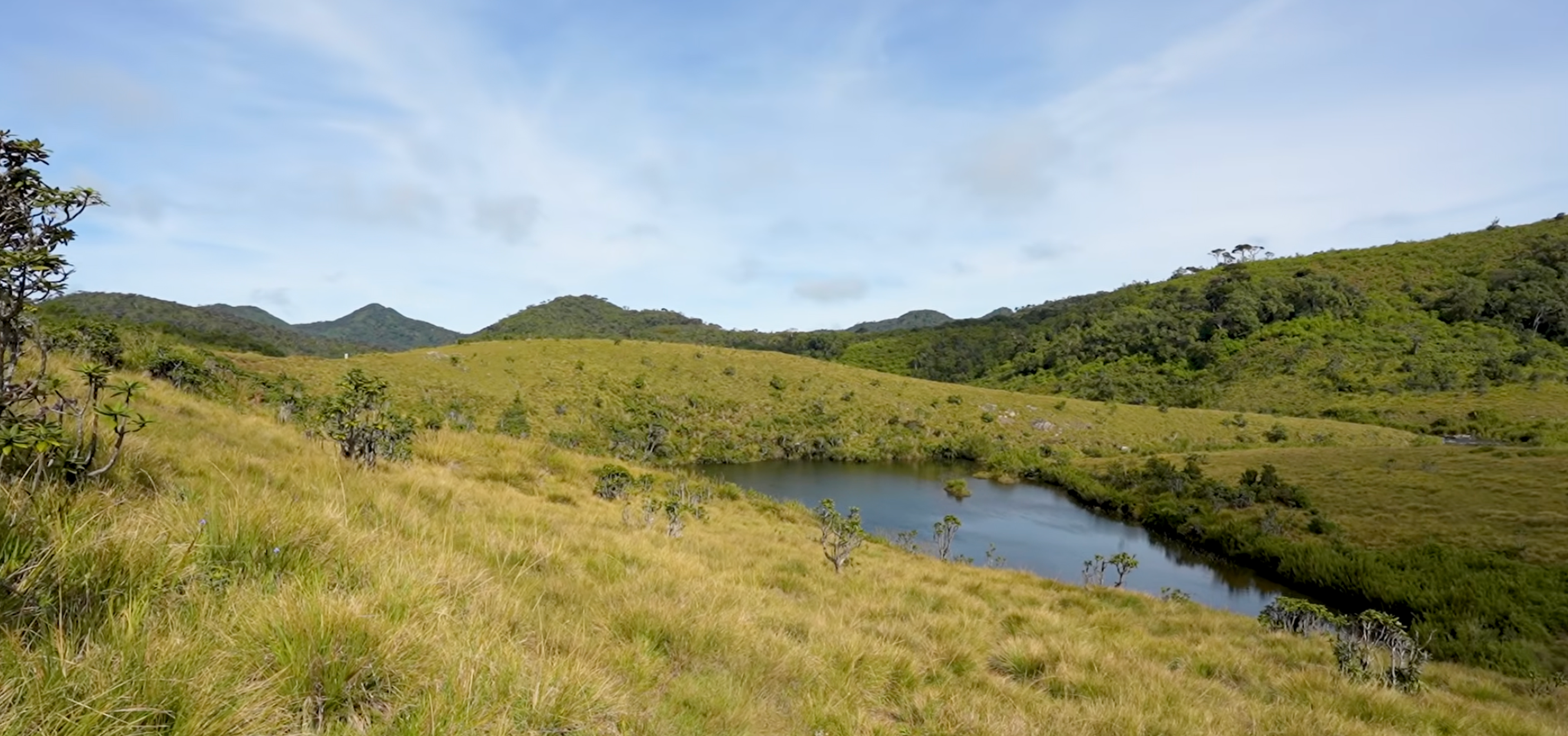
Leg of Mutton Pool, Horton Plains National Park
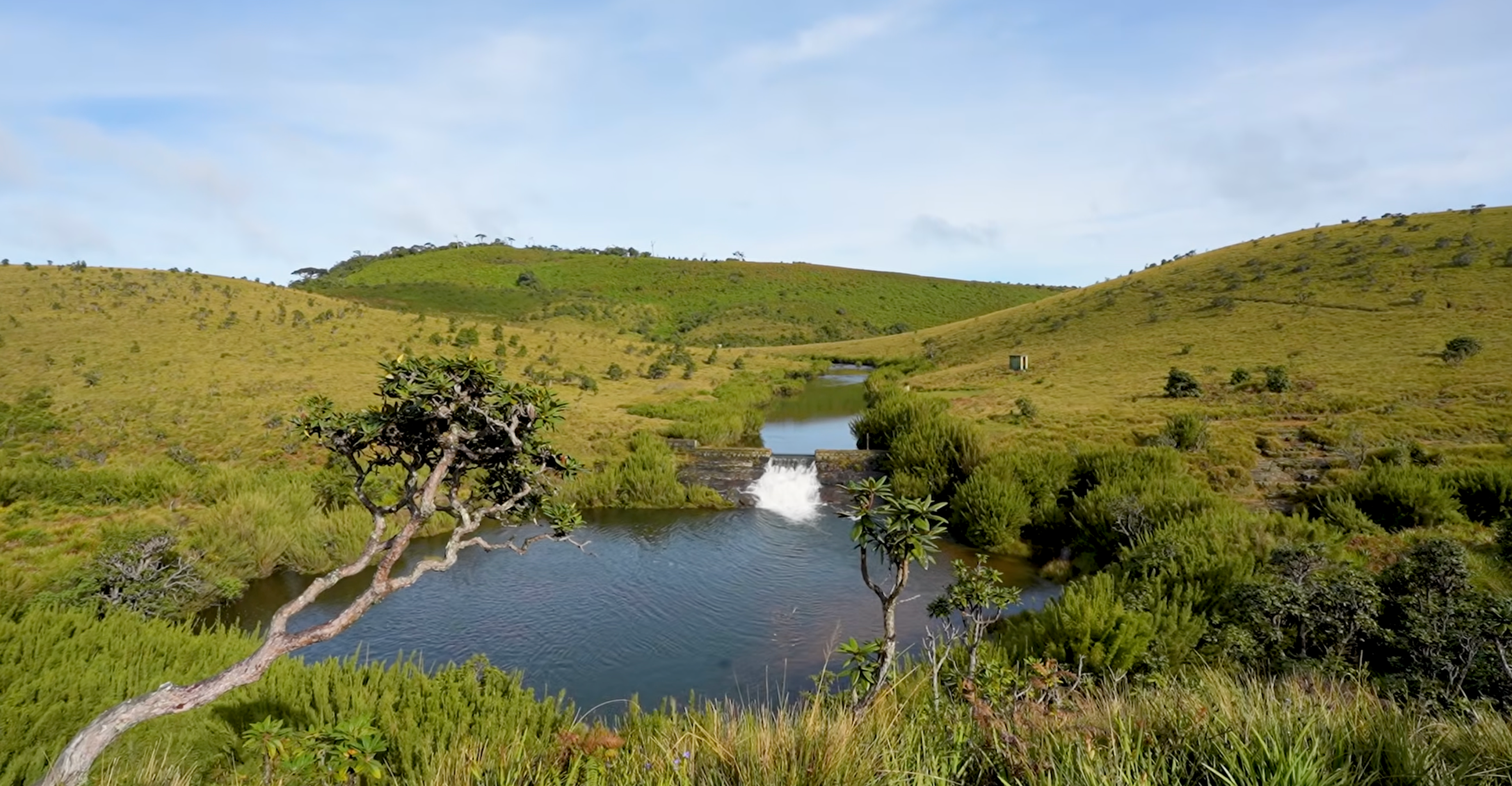
Chimney Pool, Horton Plains National Park
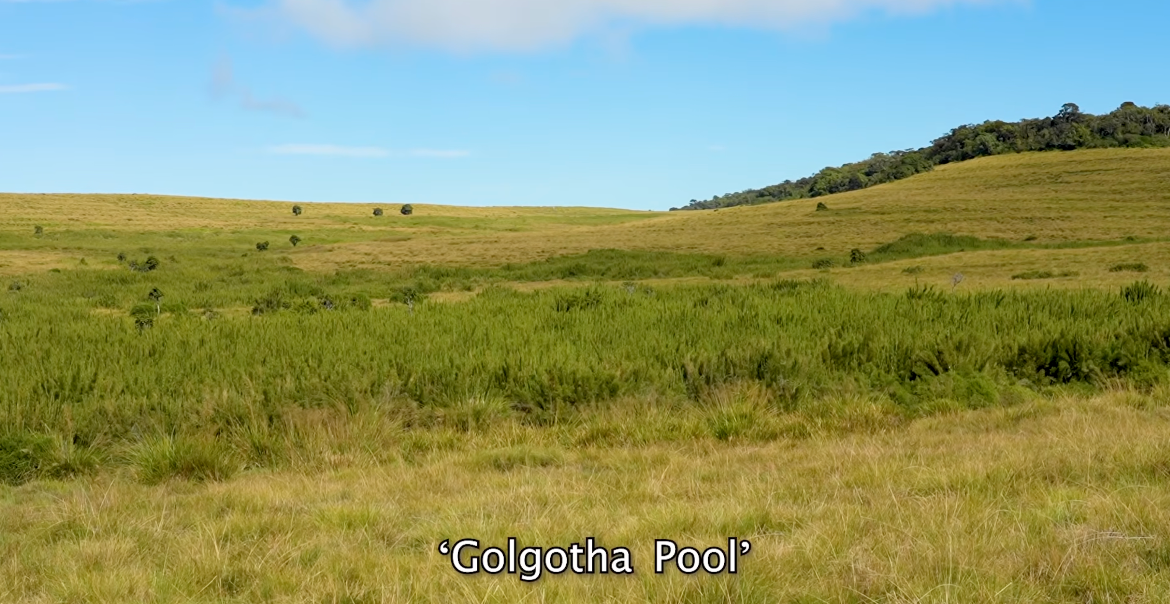
The story goes like this. A group of pilgrims walking from Uva to Sri Pada were murdered on the plains. Later, their skulls were found in a pool. People named the spot Golgotha, after the biblical "place of the skull".
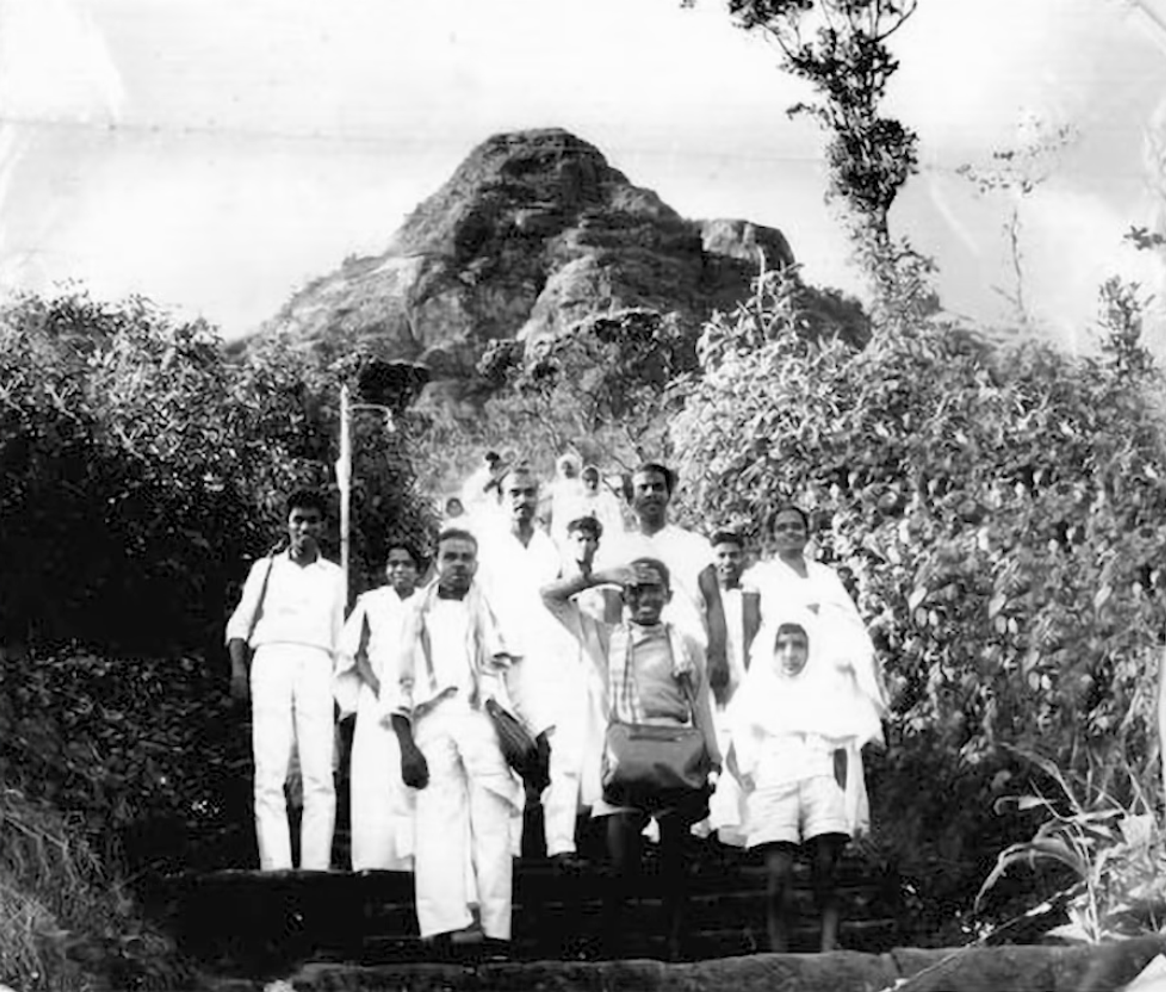
In 1946, the writer G. Anderson told the same story. He said a hundred or more pilgrims were killed, and that this corner of the plains had been called Golgotha for over 60 years. He even said it was marked on maps.
Today you won't find Golgotha on any modern map. The pool is still there, near the upper Belihul Oya, but thick vegetation covers it. We found no record of the killings outside these old accounts, so treat it as a legend, not history.
The Evidence for an Old Pilgrim Road
The murders may be a legend. The pilgrim road is not.
- A royal rest house on the Uva route. King Vijayabahu I set up the Ambagamuwa rock inscription in the 38th year of his reign, around 1093. It records rest houses he built for pilgrims on the routes to the Peak, including the route from Uva. Historian C.W. Nicholas covered this in his 1963 Historical Topography of Ancient and Medieval Ceylon.
- Still in use in the 1940s. Anderson wrote in 1946 that pilgrims were still using the track through the plains.
- Busy in 1899. A Ceylon Observer report from 1899 quotes planter Thomas Farr. He said the Bogawantalawa to Horton Plains road carried heavy traffic from pilgrims going to the Peak and traders heading for Uva.
Farr is a big name in this story. He opened North Cove estate at Bogawantalawa and called his house Farr Inn. The old Farr Inn building on the plains is now the park's visitor centre.
So pilgrims did cross Horton Plains. The question is which way they walked.
The Old Roads Across the Plains
Old maps, travel books and estate records show several historic routes onto the plateau.
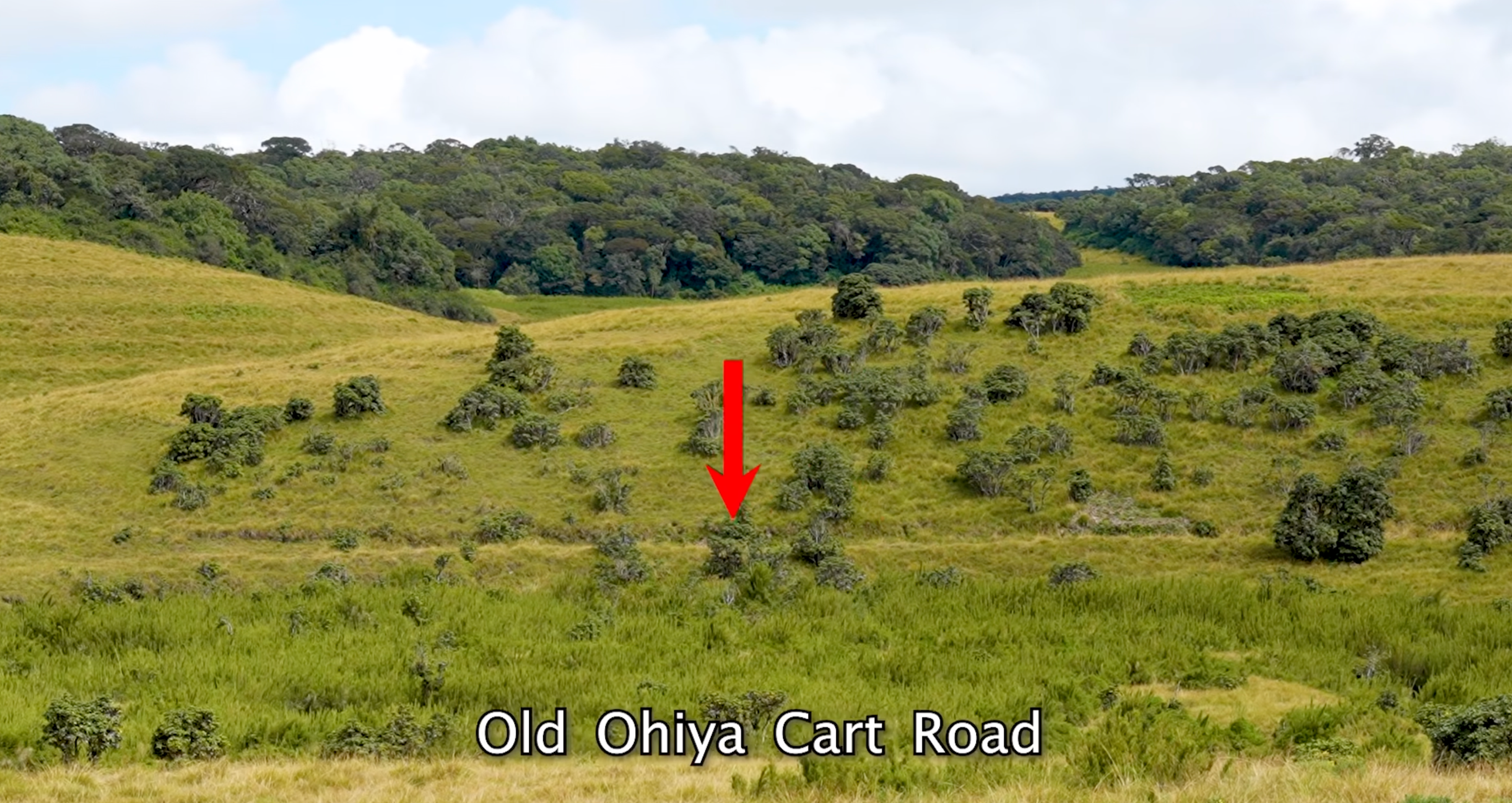
The Ohiya road. A 1928 survey map marks a road from Ohiya, which locals called the Ohiya shortcut. A 1956 fishing map shows two footpaths from Ohiya, and the upper one runs right past Golgotha Pool. Parts of the old road are still visible near the pool. If the legend is true, this is probably where the pilgrims died.
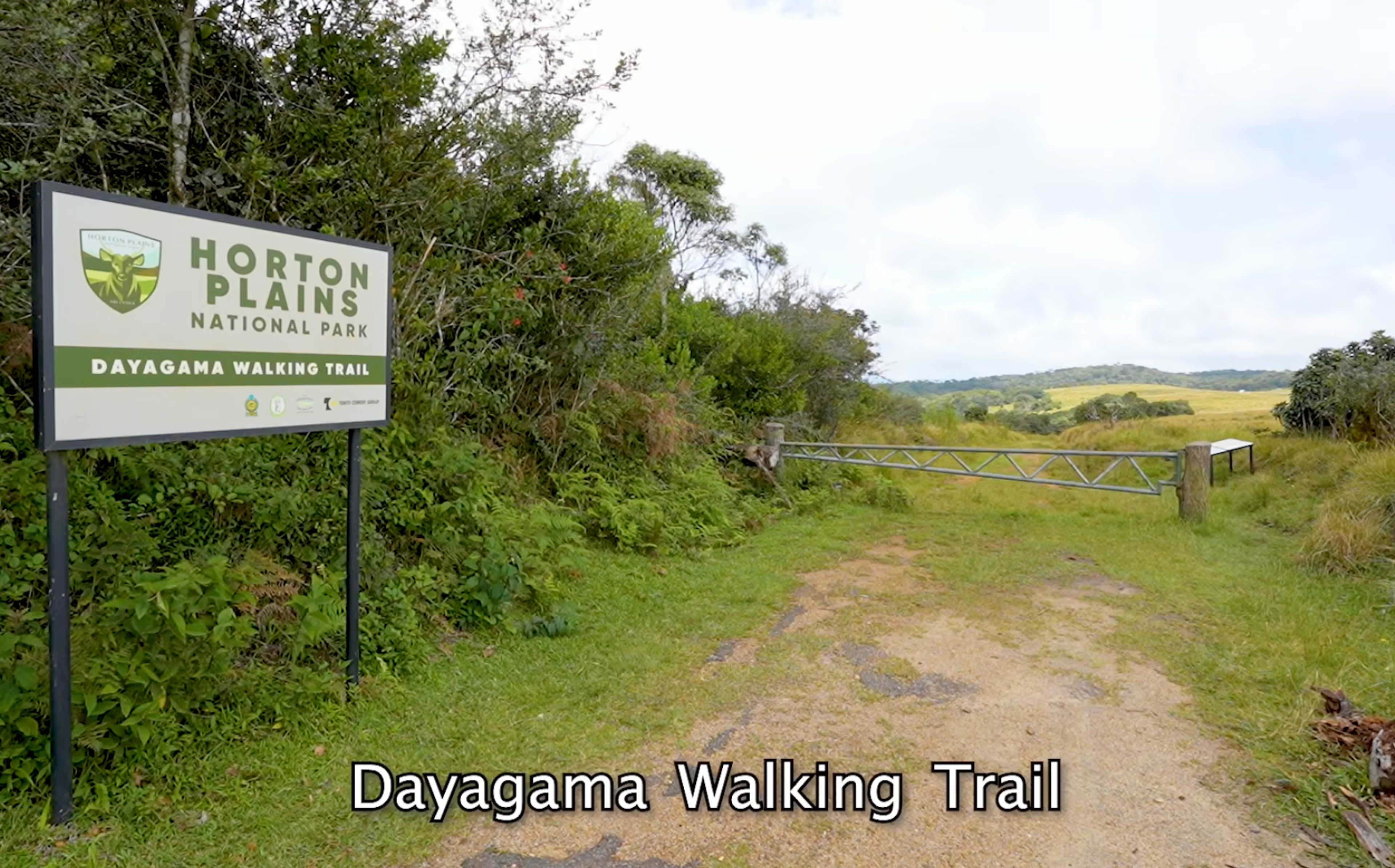
The Dayagama path. On the western side, a path climbs up from the Dayagama (Diyagama) tea country. An 1881 newspaper story describes a planter walking from a nearby estate to the plains in about an hour on what he called the pilgrims' path. Today, Stage 10 of the Pekoe Trail runs from Dayagama up to Horton Plains, so you can still walk in from this side.
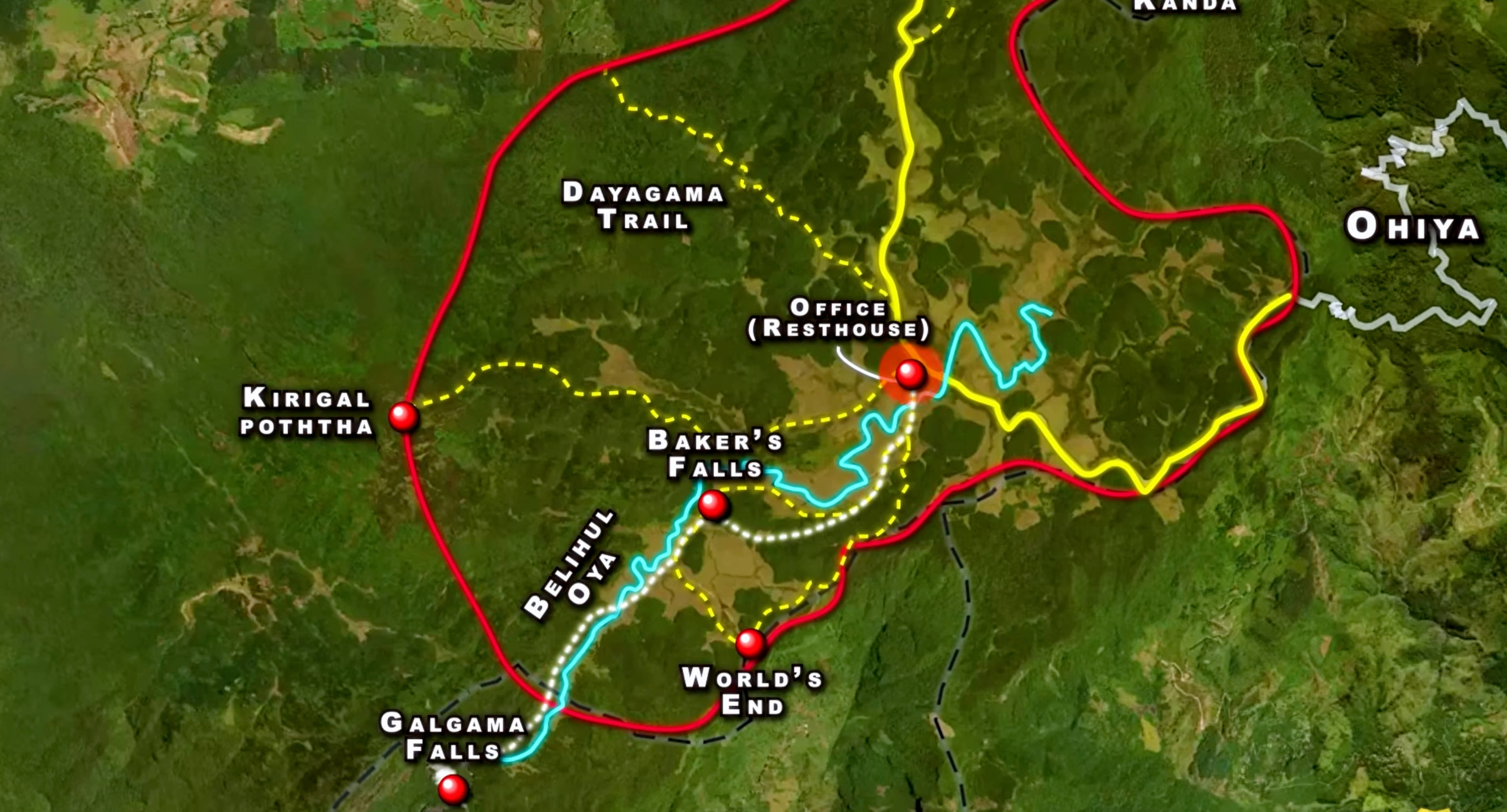
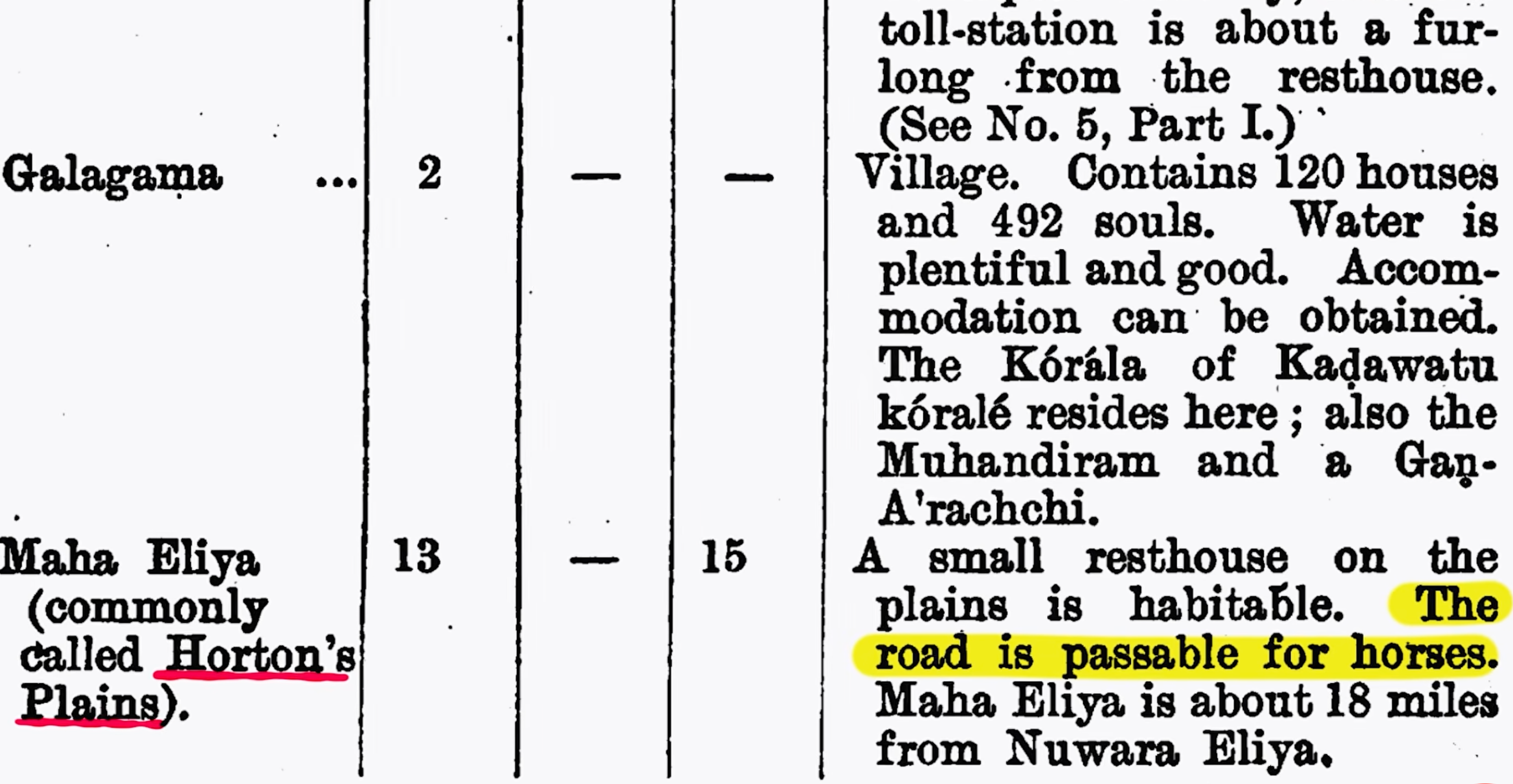
The Galagama horse road. In 1836, Governor Robert Wilmot-Horton, the man the plains are named after, came up to meet the Ratemahatmaya of Sabaragamuwa. Major Jonathan Forbes wrote about the visit in Eleven Years in Ceylon (1840). According to Forbes, the chief Mahawalatenne cut a horse path from the plains down to Galagama, following the Belihul Oya. An 1888 road list calls it the Galagama to Maha Eliya road. Maha Eliya Thenna, the great open plain, is the old Sinhala name for Horton Plains.
The southern estate roads. In February 1882, German naturalist Ernst Haeckel spent several days on the plains while botanist Henry Trimen worked nearby. His book A Visit to Ceylon has a whole chapter on World's End, the old rest house and Non Pareil estate below the cliffs. He later wrote that he would never forget the "delicious stillness" of those days. The Non Pareil estate road climbs to Nagrak at the edge of the plains, past Baker's Bend, a sharp horseshoe turn. Local stories don't agree on which Baker it is named after.
The Bogawantalawa bridle road. This road ran from North Cove at Bogawantalawa onto the plains. Thanks to Farr's 1899 comment, it's the one route we can say for sure carried pilgrims.
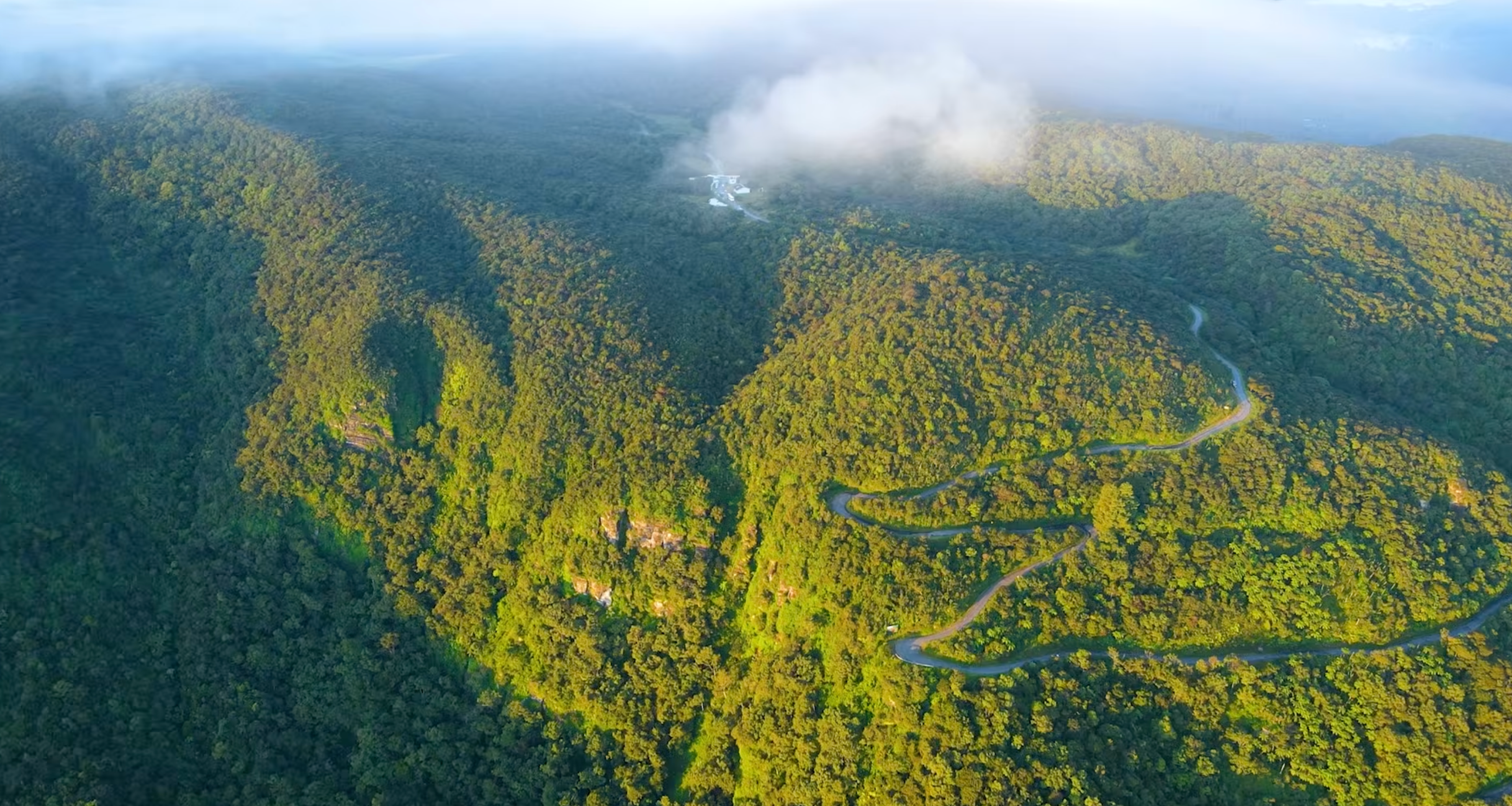
Historic route to Sri Pada via Horton Plains
So Which Way Did the Pilgrims Walk?
Nobody knows for sure. Most likely, pilgrims used different parts of this network depending on where they started.
- From Ohiya, they could cross to the old rest house area and leave by the bridle road to Bogawantalawa.
- Or they could go from the rest house down the Dayagama path.
- From the south, they probably climbed up the Belihul Oya and Haldummulla side roads and joined one of the routes above.
The Golgotha killings are still unproven. But the evidence clearly shows that Horton Plains was once part of an ancient network of routes to Sri Pada. Today that path has disappeared, and the forest has taken it back.
Walk the Plains Today
You can't follow the lost pilgrim trail. Most of the old paths are overgrown or inside restricted parts of the national park, and leaving the marked trails is not allowed. But you can still walk through the same landscape the pilgrims crossed.
- World's End. The plateau ends in a sheer cliff with a drop of about 870 m. Older guides often say 4,000 ft. On a clear morning you can see all the way to the southern lowlands.
- Baker's Falls. A 20 m waterfall on the Belihul Oya, named after explorer Samuel Baker.
- Chimney Pool and the Belihul Oya. Both sit on the main loop. Golgotha lies further up the same river.
- Kirigalpotta and Thotupola Kanda. Sri Lanka's second and third highest peaks. Both have trails starting inside the park.
- Pekoe Trail Stage 10. A long walk from Dayagama up to Horton Plains through tea country, close to the old pilgrims' path.
- Baker's Bend. A viewpoint on the Non Pareil estate road from Belihuloya. It's private estate land, so you need permission to go in, and the park beyond is off limits without a permit.
Tip: Start early. Mist usually covers World's End by mid-morning, so try to be on the trail around sunrise. January to March usually brings the clearest skies.
Want to see Horton Plains with people who know its stories? Check out our guided hikes and highland trips on the Rapid Adventures experiences page, or email book@rapidadventures.lk to plan a custom trip.
Sri Pada: Where the Old Trail Was Heading
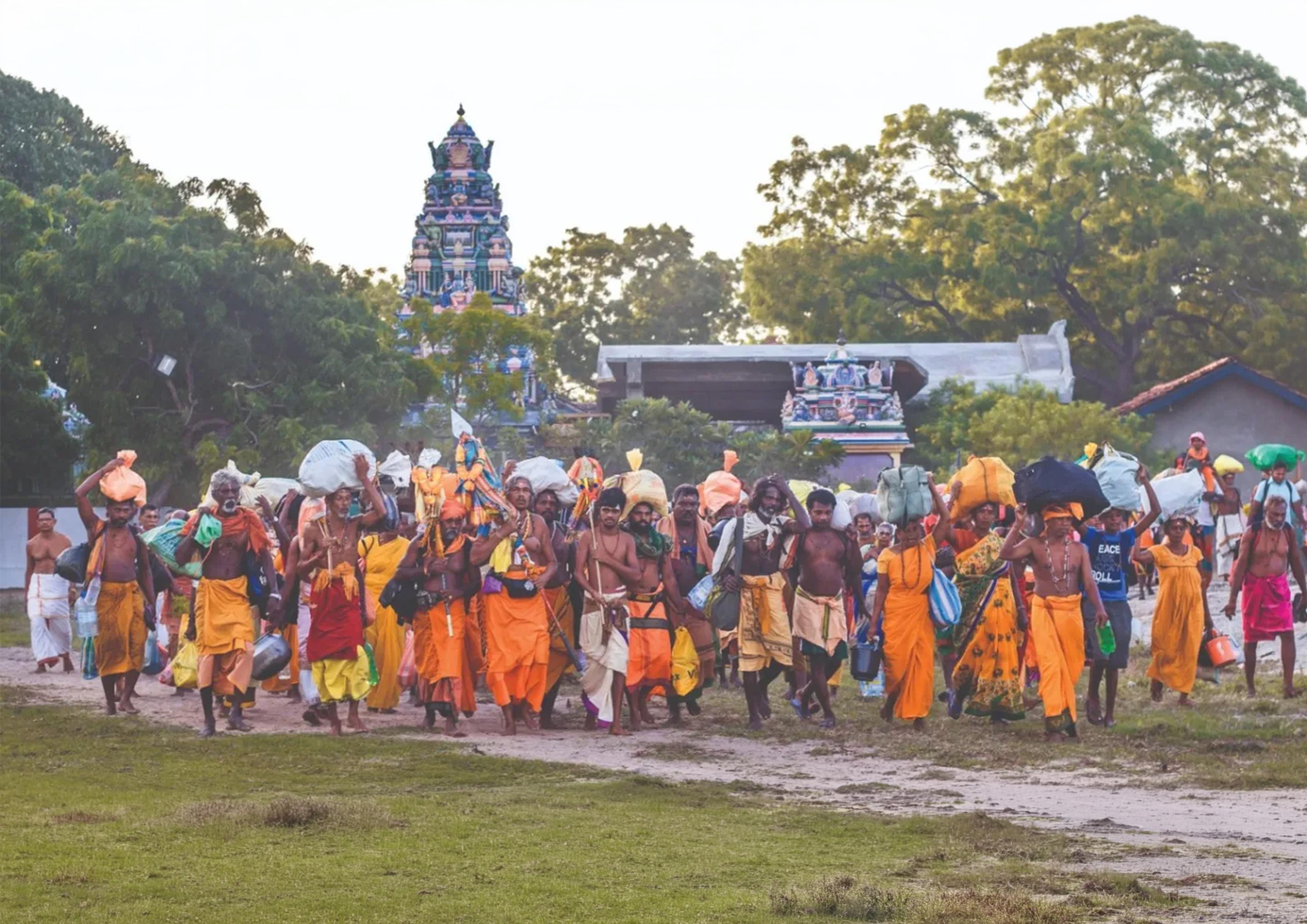
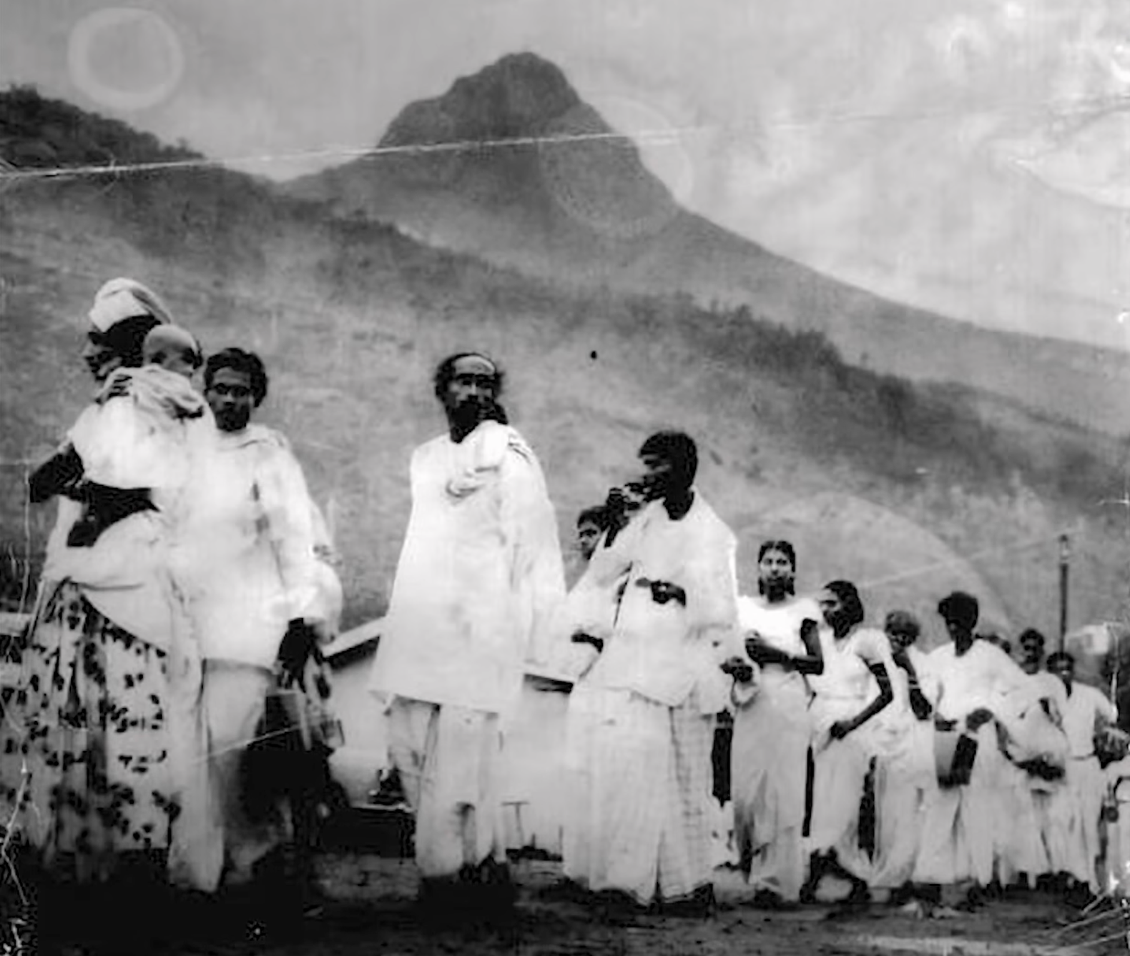
Adam's Peak is still one of Sri Lanka's most important pilgrim sites, and people of every religion climb it. The main season runs from the December poya to Vesak in May. These days most pilgrims go up from Hatton (Nallathanniya) or Ratnapura, not over Horton Plains.
If you want to make the climb yourself, read our Pada Yathra pilgrimage guide on this old walking tradition.
FAQ
Is there still a pilgrim route from Horton Plains to Adam's Peak?
No. There's no marked route today. Pilgrims use the Hatton (Nallathanniya) or Ratnapura routes.
Can I visit Golgotha Pool?
Not on the marked trails. It's off-trail inside the national park, and you can't go there without permission from the Department of Wildlife Conservation.
How long is the World's End loop?
About 9 km. Most people take 3 to 4 hours, including stops at Baker's Falls.
When is the best time to visit Horton Plains?
January to March usually has the clearest skies. Get to the park early in the morning, before the mist rolls in.
Sources
- Aegle Creations, Lost Trail to Sri Pada via Horton Plains (YouTube documentary)
- Horton Plains National Park, Wikipedia
- World's End, Sri Lanka and Baker's Falls, Wikipedia
- Sri Pada (Adam's Peak), Lanka Pradeepa (Vijayabahu I and the Ambagamuwa inscription, citing Nicholas 1963)
- C.W. Nicholas, Historical Topography of Ancient and Medieval Ceylon (1963)
- Richard Boyle, Haeckel's visit to Ceylon, Sunday Times (1997)
- Ernst Haeckel, A Visit to Ceylon (1883 English edition)
- Thomas Farr, Cobbold Family History Trust
- The mystique of Horton Plains, Sunday Observer (2007)
- Baker's Bend at Nonpareil Estate, Amazing Lanka
- Villages at high altitude, Sunday Observer (2023)
- Pekoe Trail stage guide, MAHO on Earth
Editor note: we could not get the primary texts for the Golgotha legend (Crowe, Anderson 1946), the 1881, 1888 and 1899 newspaper and road records, Forbes's account of Mahawalatenne's horse path, or the 1928 and 1956 maps. These come from the Aegle Creations documentary. The article frames them as reported, not proven.